

Zeleni plan Jadran
Zeleni plan, Croatia
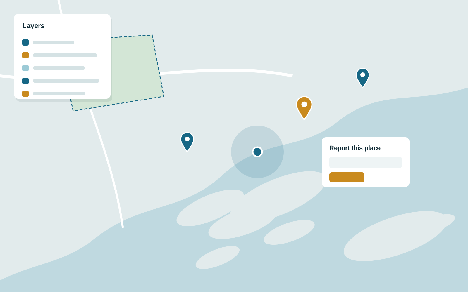
A public web map where people view reference layers, add data and report issues at their location.
Our role: Web GIS application development.
Open-source GIS can match commercial platforms for most workloads. We build complete stacks from spatial databases and map servers to custom QGIS plugins and browser-based viewers.
See it in practice Zeleni plan Jadran: A public web map where people view reference layers, add data and report issues at their location.
Review note: Confirm each listed tool reflects real delivered work (LAStools and OSRM in particular).
Licence costs can make GIS hard to justify, particularly for organisations rolling it out to many users or publishing data to the public.
Open-source tools are capable, but assembling them into a reliable, maintainable system takes specialist experience.
We design around PostgreSQL with PostGIS as the source of truth, then publish data through GeoServer and GeoWebCache using open standards that any client can consume.
Desktop teams get QGIS plugins that automate their repetitive work. Web users get fast map applications, and 3D or point cloud data can be streamed to the browser with Cesium and Potree.
We do not publish fixed prices because these factors vary widely. After a first conversation we send a written proposal with scope, milestones, acceptance criteria and cost, so you can compare like for like before committing.
Zeleni plan, Croatia
A public web map where people view reference layers, add data and report issues at their location.
Our role: Web GIS application development.
Industries: Real estate, Telecom, Tourism, Agriculture
PostGIS, GeoServer and QGIS are mature projects used by governments and large companies. Reliability depends mostly on how the system is designed, monitored and maintained, which is the part we take responsibility for.
The core stack (PostGIS, GeoServer, QGIS and the web mapping libraries) is free to use. Some projects still need commercial tools, such as licensed LAStools for point cloud processing or FME for data conversion. We list every licence a design depends on before you commit.
Yes. Open standards such as WMS, WFS and OGC API let the two exchange data, and many of our clients run a mix.
Tell us what you are trying to achieve. We will reply with questions and a suggested first step.