
Red FTTH
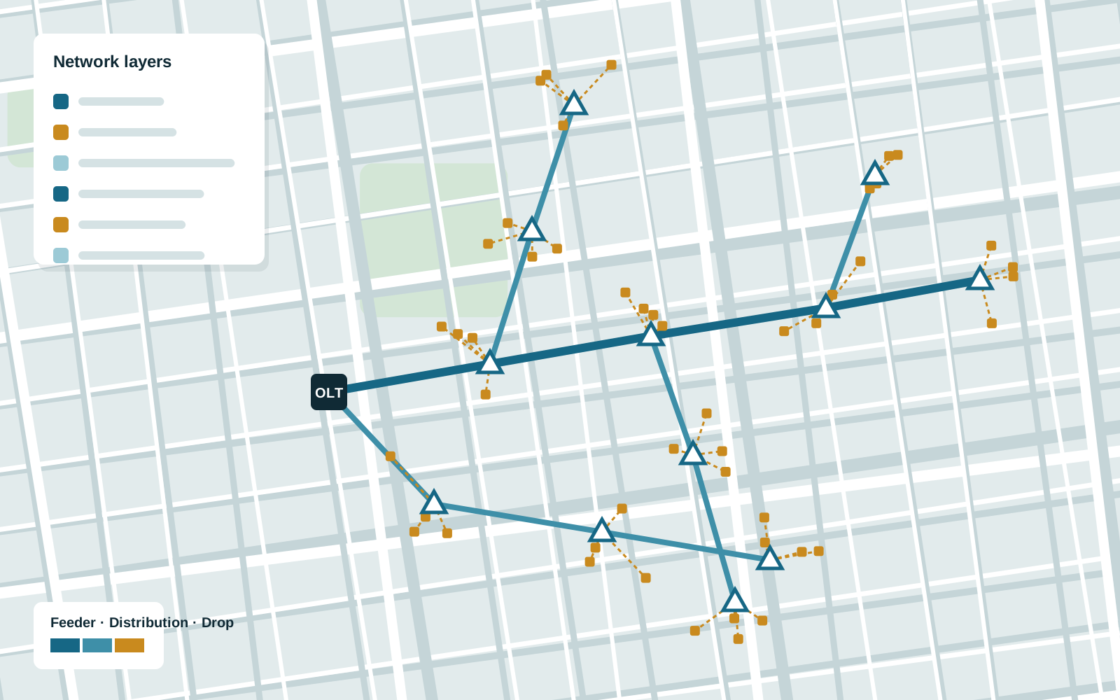
Fibre-to-the-home network planning in the browser: draw, categorise, save and share network designs.
Our role: Web GIS application development.
Telecom networks are built and maintained on maps. We build GIS tools that help operators and infrastructure providers plan routes, analyse coverage and keep track of their assets.
Review note: Draft copy. Linked to Red FTTH and the fibre network dashboard.
OpenLayers, MapLibre GL JS, GeoServer, PostGIS, QGIS, OSRM, Turf.js, FastAPI
Related services: GIS development, Open-source GIS, Automation and integrations
Fibre-to-the-home network planning in the browser: draw, categorise, save and share network designs.
Our role: Web GIS application development.
Confidential client
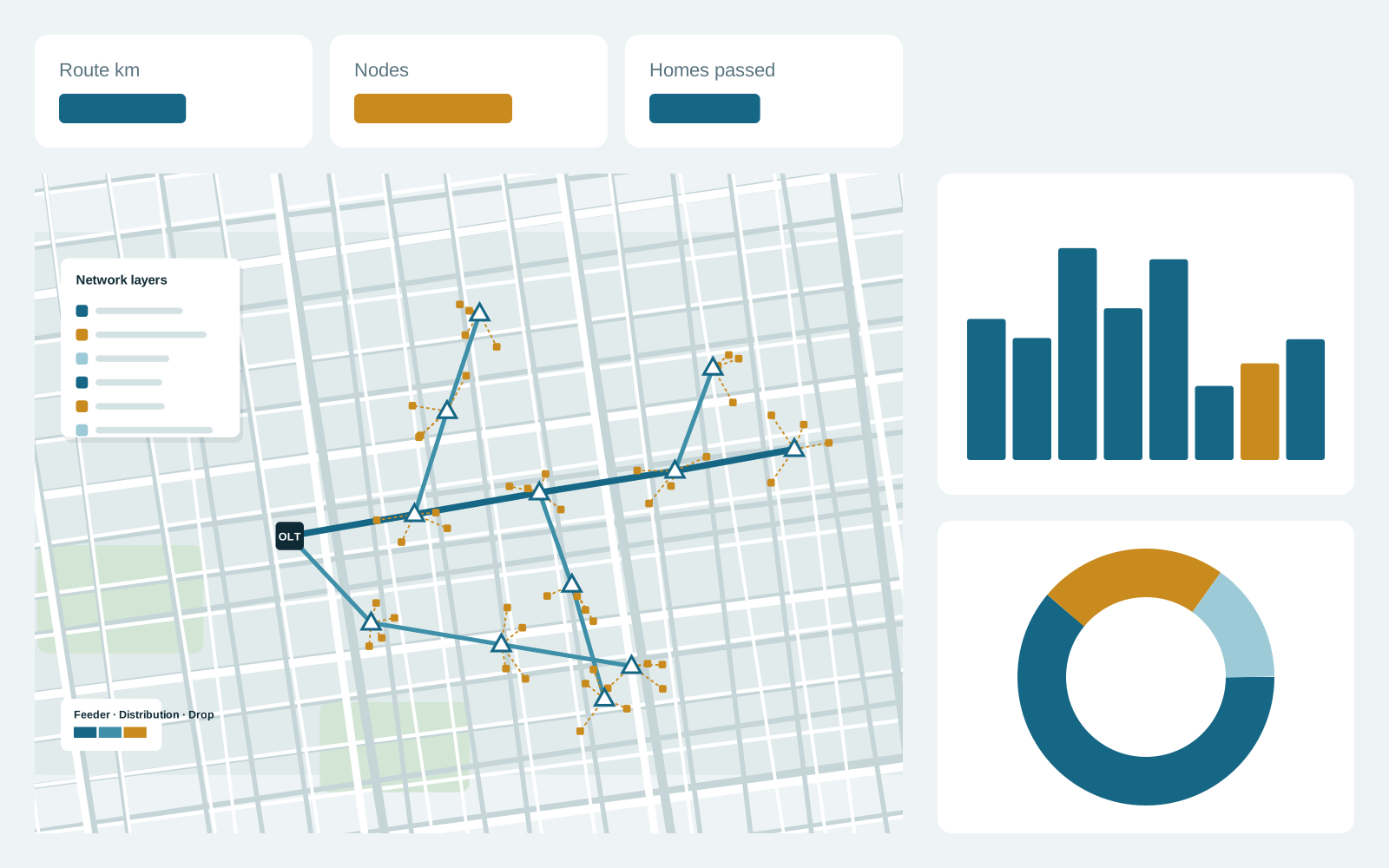
Visual analysis of fibre network data on a map with linked charts.
Our role: Web GIS dashboard development.
Tell us about the workflow you want to improve and the data you have today.