
Mello Engine
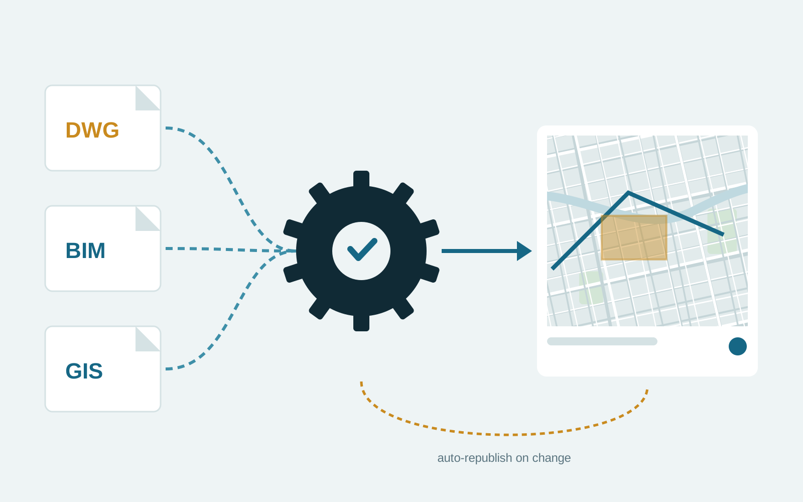
Automated processing and publishing of CAD, BIM and GIS files to ArcGIS Online.
Our role: Platform design and development.
Repeated data preparation, manual exports and copy-paste between systems are slow and error-prone. We automate those workflows and connect GIS to the rest of your business systems.
See it in practice Mello Engine: Automated processing and publishing of CAD, BIM and GIS files to ArcGIS Online.
Review note: Confirm Kafka, Databricks and Selenium reflect delivered work.
Teams spend hours each week converting formats, validating edits and moving data between CAD, GIS, spreadsheets and business systems.
Manual steps introduce errors and make it hard to keep maps current.
We map the existing workflow, identify the steps worth automating, and build pipelines with clear logging and failure alerts so someone knows when a run goes wrong.
Integrations use documented APIs where they exist. Where they do not, we use scheduled jobs, message streams or browser automation.
We do not publish fixed prices because these factors vary widely. After a first conversation we send a written proposal with scope, milestones, acceptance criteria and cost, so you can compare like for like before committing.
Automated processing and publishing of CAD, BIM and GIS files to ArcGIS Online.
Our role: Platform design and development.
Orbit3Labs
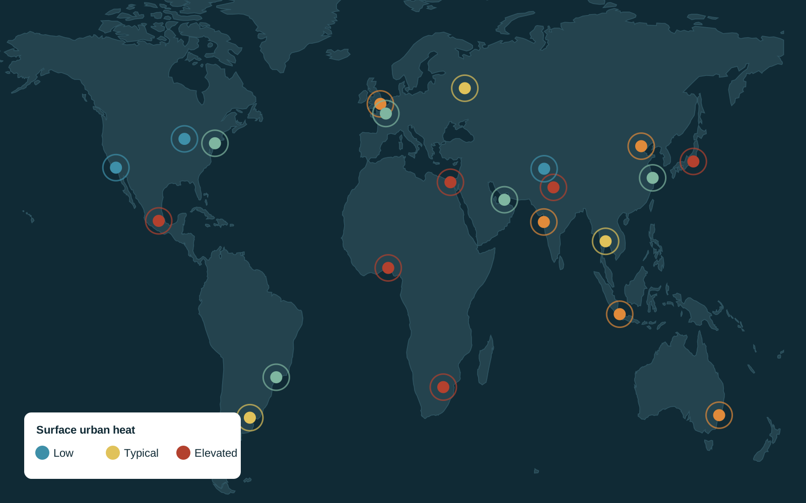
Surface urban heat island values for major cities worldwide, on one map.
Our role: Web GIS application and data processing.
Industries: Utilities, Oil and gas, Telecom
Each pipeline we build logs its runs and alerts a named person on failure. We agree in advance what should happen when input data is wrong.
Yes. Jobs can run on your infrastructure, in the cloud, or on FME Flow if you already use it.
Tell us what you are trying to achieve. We will reply with questions and a suggested first step.