
- Client
- Mello Engine
- Our role
- Platform design and development.
Owner to confirm: client name or confidentiality, engagement period, data volumes and any measured time saved.
 Illustration
Context
Engineering teams keep AutoCAD drawings, BIM models and GIS files in Autodesk Construction Cloud and SharePoint. Getting them onto web maps was a manual, repeated job.
Files change often, so published GIS layers went out of date unless someone reprocessed and republished them by hand.
What Jugrafiya was responsible for
- Platform design and development: connectors, ArcPy processing, publishing, scheduling and the React dashboard
What we built
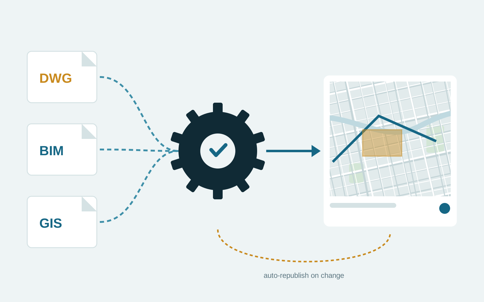
- Connectors pull DWG, BIM and GIS files from Autodesk Construction Cloud and SharePoint.
- ArcPy geoprocessing validates and converts the data, then publishes it to ArcGIS Online.
- Webhooks and scheduled jobs detect source changes and republish automatically.
- A React dashboard shows processing status and history.
Architecture and stack
- Frontend
- React
- Backend
- Python, Django, Django REST Framework, Flask
- Database
- PostgreSQL
- GIS
- ArcPy, ArcGIS Pro, ArcGIS API for Python, ArcGIS Online
- Cloud
- Azure Virtual Machines, Azure Functions, Azure Blob Storage, Azure Service Bus
- Integrations
- Autodesk Construction Cloud API, Microsoft Graph API, ArcGIS REST API
Outcome
GIS layers stay in step with their source files without manual republishing.