

Utility asset dashboard
GeoSolutions, Middle East
One view of an electricity network: assets, customers and performance on a live map.
Our role: Dashboard design and development.
For organisations on the Esri platform, we extend ArcGIS to fit their operations: custom web apps and widgets, ArcGIS Pro add-ins, field workflows and Utility Network implementations. We also move teams off retired or retiring Esri apps onto their current replacements.
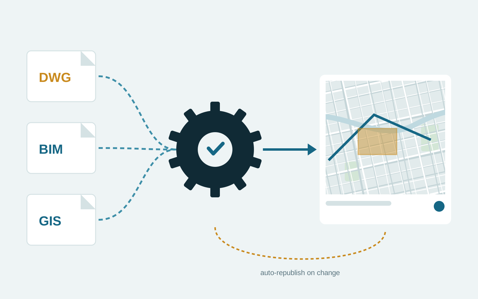
See it in practice Mello Engine: Automated processing and publishing of CAD, BIM and GIS files to ArcGIS Online.
Review note: Confirm Esri products actually delivered. No partnership or certification claims are made until verified.
ArcGIS ships with a broad set of configurable apps, but the last part of a workflow often needs custom development: a widget, an add-in, an integration or an automated process.
Migrations such as Geometric Network to Utility Network demand careful data preparation and validation to avoid disrupting operations.
We configure first and code only where configuration stops. That keeps solutions upgradeable as Esri releases new versions.
Custom work uses the supported APIs and SDKs, including the ArcGIS Maps SDK for JavaScript, Experience Builder developer edition, ArcGIS Pro SDK and ArcPy. Integrations go through REST services.
We do not publish fixed prices because these factors vary widely. After a first conversation we send a written proposal with scope, milestones, acceptance criteria and cost, so you can compare like for like before committing.
GeoSolutions, Middle East
One view of an electricity network: assets, customers and performance on a live map.
Our role: Dashboard design and development.
ATCN, Oman
Survey, validation and GIS delivery of water network assets to the national utility’s standard.
Our role: Data collection, validation and geodatabase delivery.
Automated processing and publishing of CAD, BIM and GIS files to ArcGIS Online.
Our role: Platform design and development.
Industries: Utilities, Oil and gas, Telecom
We describe our ArcGIS experience by the products we build with. Ask us about the specific products and versions relevant to your project.
Yes, with access arranged by your administrators. We follow your change and deployment procedures.
Tell us what you are trying to achieve. We will reply with questions and a suggested first step.