

About Jugrafiya
A GIS and software company in Islamabad and Rawalpindi, Pakistan. We have been building geospatial systems since 2016, and as Jugrafiya since 2022.
- projects completed
- 400+
- clients
- 350+
- countries served
- 25+
- products launched
- 10+
Our story
- 2016
Started as GIS freelancers.
- 2020
Built a strong client base and grew through collaboration.
- 2022
Jugrafiya officially launched by four partners.
- 2026
A team of 18+ professionals delivering GIS and software projects.
Our approach
- Specialists, not generalists
- Our engineers come from GIS: surveying, remote sensing, spatial databases and enterprise GIS. We pair that with full-stack software skills, so the map and the product are built by the same team.
- Open source or ArcGIS, chosen per project
- We work across both ecosystems and recommend whichever suits your budget, data and team, including mixed setups.
- Remote by design
- Engineers work on-site in Islamabad and Rawalpindi and collaborate with clients across time zones through shared repositories, trackers and regular reviews.
- Built to hand over
- Documentation, clean repositories and deployment notes are part of delivery, so your team can run what we build.
Leadership
The people who lead a team of 18+ GIS engineers, developers and analysts.
-
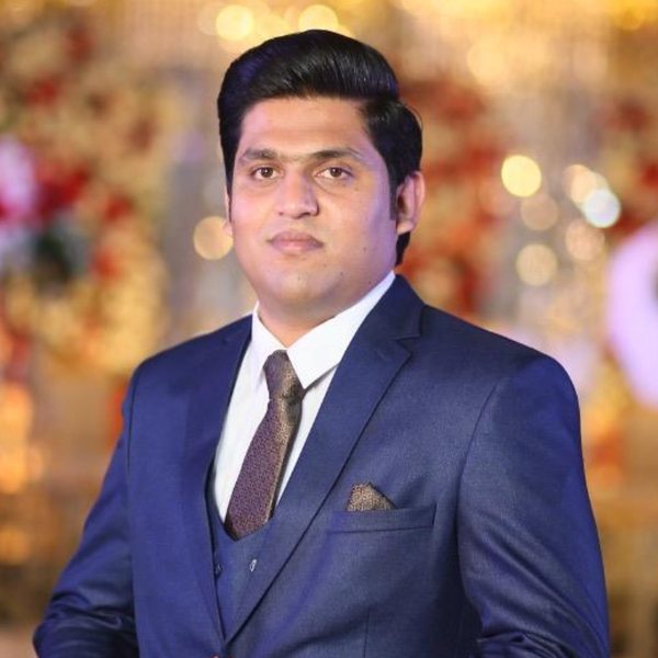
Ahsan Mukhtar
CEO and Managing Director
Geo-informatics engineer with 10+ years in GIS across open-source and proprietary technology. Ahsan has delivered real estate and tracking platforms for clients in Europe and the US, and specialises in 3D mapping, point cloud processing and data automation tools.
-
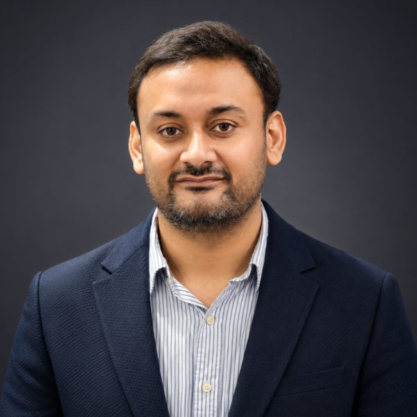
Haider Ali
Chief Technology Officer
Haider sets Jugrafiya’s technical direction, leading product development, engineering and the delivery of scalable GIS, AI and cloud solutions. His focus is GIS, LiDAR and spatial analytics. He also leads sales operations, so what we build stays tied to the business problems clients need solved.
-
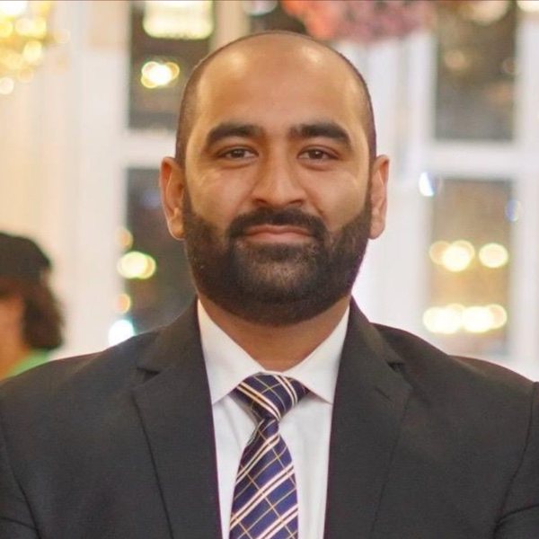
Muhammad Ali
Senior Vice President
Senior GIS developer with a master’s in GIS and remote sensing and 12+ years in the industry. Muhammad has built enterprise GIS, automation and spatial data systems for organisations including BP Oman, Saudi Aramco and TPL Maps, with deep experience in ArcGIS Enterprise, FME and Python.
-
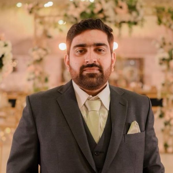
Tayyab Mir
Director of Engineering
Geo-informatics engineer with 10+ years in GIS and command of the full ArcGIS suite. Tayyab has led teams delivering large-scale surveys, web GIS applications and back-end systems for enterprise clients including Saudi Aramco, NAMA (Oman) and the Government of Pakistan.


Have a project in mind?
Tell us what you are trying to achieve. We will reply with questions, an initial view on approach, and the next step.