
Review build. This is not the live Jugrafiya website. Items marked like this are waiting for confirmation and will not be published until approved.

Work

Zeleni plan Jadran

A public web map where people view reference layers, add data and report issues at their location.

Client
Zeleni plan
Region
Croatia
Our role
Web GIS application development.
Product
jadran.zeleni-plan.hr (opens in a new tab)
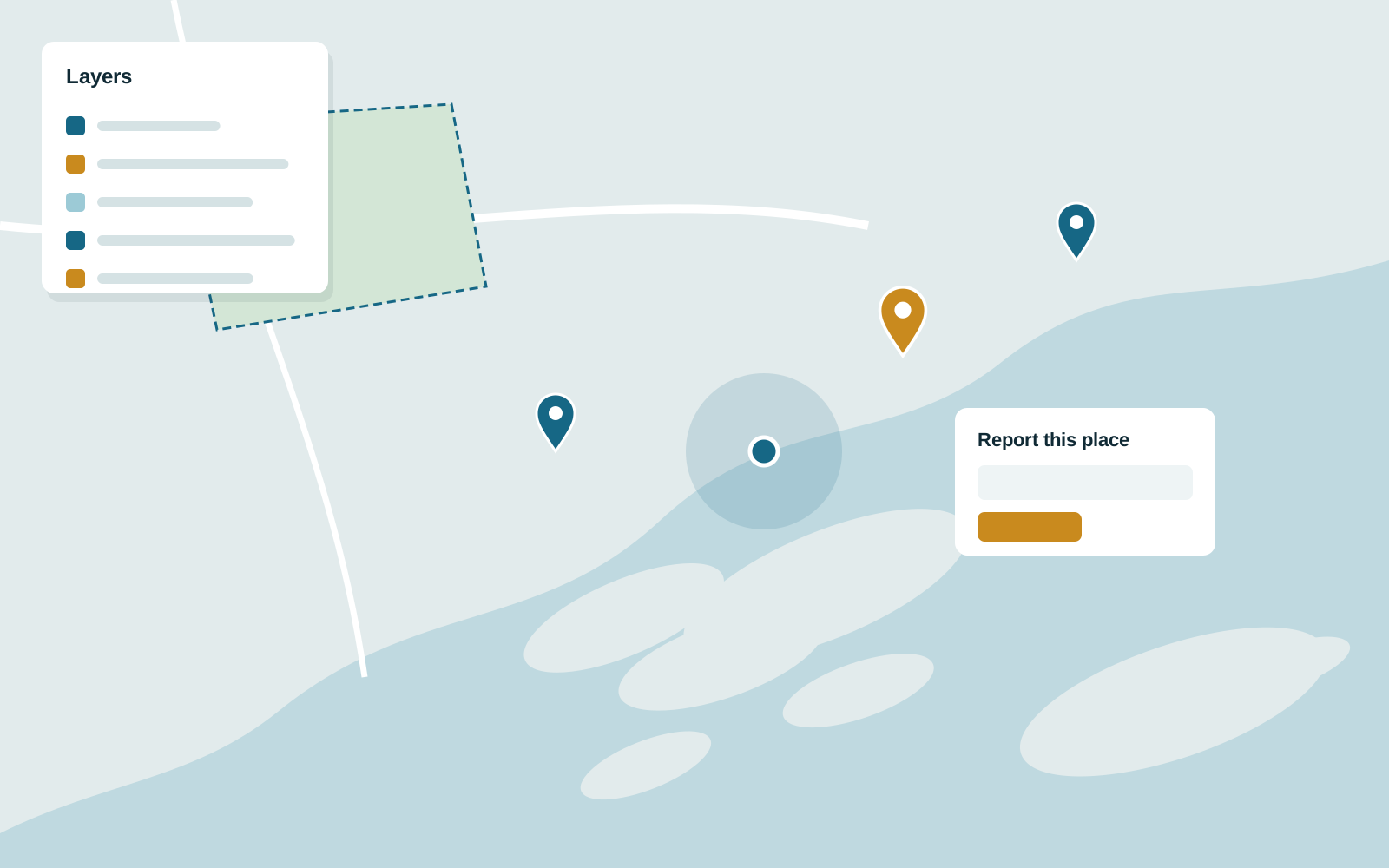
Illustration of Zeleni plan Jadran: A public web map where people view reference layers, add data and report issues at their locationIllustration
Illustration based on the project brief, not a screenshot of the product.

Context

A Croatian coastal planning initiative wanted residents to contribute local knowledge directly on a map.

What we built

  • Default geographic reference layers, switchable by the user.
  • Tools for users to add new data to the map.
  • Find-my-location and reporting for a specific place.

More work

Population Explorer

United States

A location intelligence platform for territory planning and site selection, used by non-GIS teams.

Our role: Advisory and engineering across front end, back end and architecture.

School district territory planner

Wahsega, through Population Explorer, United States

Sales territories built from US school districts, coloured by school counts, sales or deal stage.

Our role: Custom deployment, front end and data engineering on the Population Explorer platform.

PlotViewer

AerialGIS, East Africa

Plot availability on 3D aerial imagery, so buyers can see exactly what is for sale.

Our role: Product engineering partner from ideation to launch.

Planning something like Zeleni plan Jadran?

Tell us about your project. We will mention this one as a reference point when we reply.